

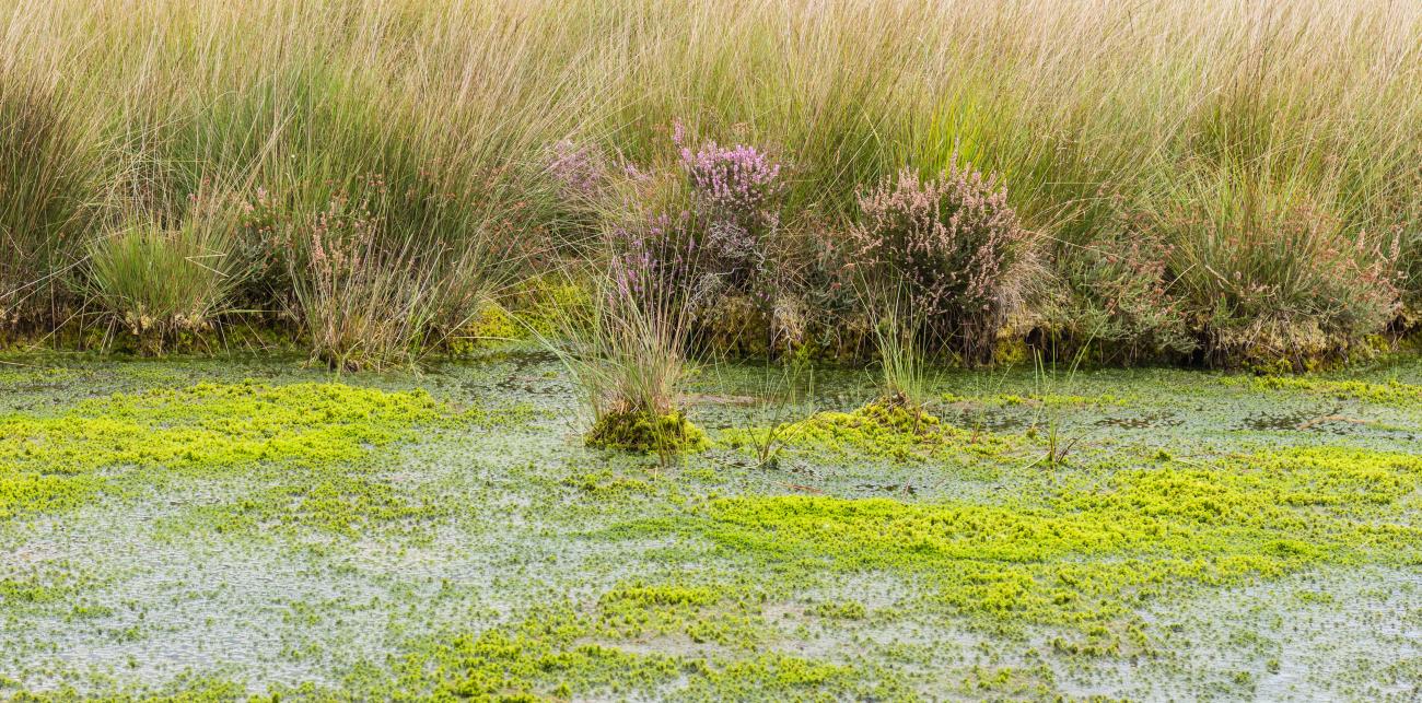
The Netherlands is a low-lying, densely populated deltaic country in Europe, a part of which lies below the sea level. This situation makes the country vulnerable to floods and to seawater intrusion. This challenging environment requires outstanding monitoring and management. Water management in the Netherlands is the joint responsibility of the central government, provinces, municipalities and water boards. Collaboration and data sharing is therefore an important prerequisite for effective action.
National Key Registry of the Subsurface
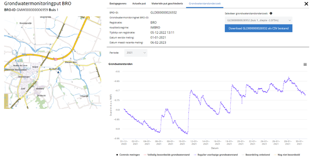
The national geological survey (TNO) has long operated a National Data Repository, an online platform where groundwater level monitoring data could be visualized and downloaded. Following the National Key Registry of the Subsurface Act (2015), a National Key Registry of the Subsurface is being gradually developed, which contains additional data types than the previous repository, like groundwater quality monitoring data or groundwater flow models.
Institutions responsible for the management of groundwater are obliged to share their groundwater data in the Registry and to use the data in the Registry in support of their activities. In addition, some private companies active in water management are also obliged to share and use data in the Registry.
The National Key Registry of the Subsurface currently contains nearly 200 monitoring networks and over 50.000 monitoring wells.
Access open water data
Access the National Key Registry of the Subsurface here.